
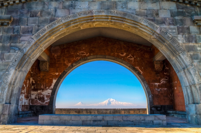

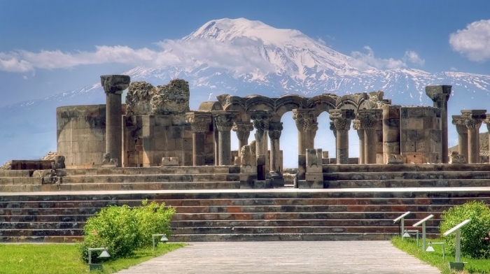
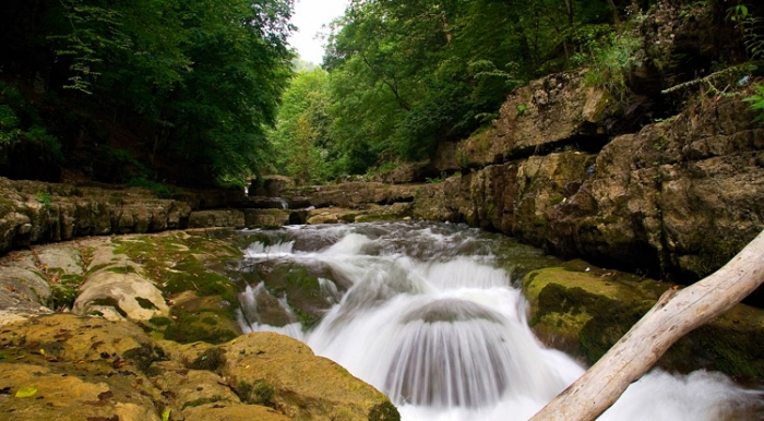
Mount Aragats
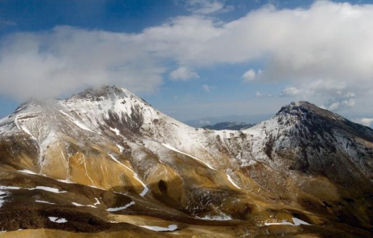
Aragats is the highest peak of modern Armenia, located about 40 km (25 mi) NNW of the country´s capital Yerevan. The dormant stratovolcano covers an area of 200 km² (80 mi²) and has a 350 (1150 ft) deep crater. Out of the crater rim rise the four summits of Aragats:
North 4090 m/13419 ft
West 3995 m/13107 ft
East 3908 m/12822 ft
South 3879 m//12727 ft
The South Summit of Aragats is an easy walk and climbed quite frequently. However, the weather can change rapidly even during the hot summers.
It is climbed from Kari Lake (3190 m). There are no set paths, but the summit is visible from Kari Lake. The climb takes about 3:30 (source: Bachmann and Tufenkian 2004, Adventure Armenia).
The North Summit is climbed more seldom and demands somewhat greater abilities.
The climb starts at the village of the same name as the mountain, Aragats (1900 m). For strong hikers or ski tourers, I recommend doing it in one day. It is a very long way (almost 2200 mts/7200 ft vertical), but doable and you can go so much lighter. Otherwise, the climb takes two days.
Armenia is generally a very mountainous country. Most of the country are located on the Armenian Plateau - 87% of the country are between 1000 and 3000 m (3300 and 10000 ft) high. Regions between 2000 and 3000 m (6600 and 10000 ft) make up 12.6 % of the country´s area.
Several peaks rise above 3000, such as Mt. Azhdahak (3597 m/11800 ft) on the Geghama mountain range, a volcanic plateau with several craters, or Armenia´s second (or fourth - depending whether one counts the east and west summit of Aragats as independent summits) highest peak, impressive Kaputjukh (3906 m/12815 ft), located in the SW-corner of Armenia, bordering to Azerbaijan´s isolated Nakhichevan region. Kaputjukh is unlike most other Armenian mountains of non-volcanic origin.