Agarak
The village of Agarak is on the banks of the River Amberd loacted to the south of Mount Aragats. It covers 200 hectares 118 hectares out of which is has been declared a historical and cultural preserve. The traces of different ancient settlements are across the highway near the village.
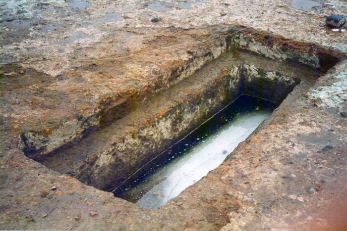
On a hill next to the highway there are flat reliefs carved out of the tuff stone by ancient settlers. Tuff is a relatively soft volcanic stone, which makes it easy to carve shapes and sculptures with primitive tools. The ancient inhabitants transformed the landscape at the cost of considerable effort, turning natural masses of tuff into a gigantic system consisting of collections of stone structures. The sides of the cliffs and plateaus have also been carved. There are niches carved into the cliffs, as well as stair-like platforms leading to them.
A necropolis was found at the site, next to a large area with religious and residential buildings of different eras. The earliest settlement belongs to the late Shengavit or the early Kura-Araxes cultures dated to the early Bronze Age, which in Armenia begun in 3400 BC a full millennium before the construction of the Great Pyramid of Giza. Armenian archaeologists have further excavated the remains of stone houses clustered along a street, together with a bounty of terracotta statuettes and ceramic artifacts. Archaeologists predict that further excavations at the site could reveal traces of an even older settlement.
The Agarak settlement is “multi-layered,” showing that people lived and build here in different historical epochs. Artifacts from the period of the Araratian (Urartu) kingdom have been found in abundance on the southern side of the hill. The large quantity of wine presses and wine storage vats discovered in the excavated sectors indicates the predominant role of viticulture and wine-making in the economic life of the ancient inhabitants of Agarak.


