Star Map
Sevsar ancient astronomical observatory is located in Gegharkounik Marz, above Geghovit village, not far from Lake Sevan, the emerald of Armenia, 1900 m above sea level. In ancient times it was called Geghama Sea. The Sevan Basin is rich in archaeological and historical monuments.
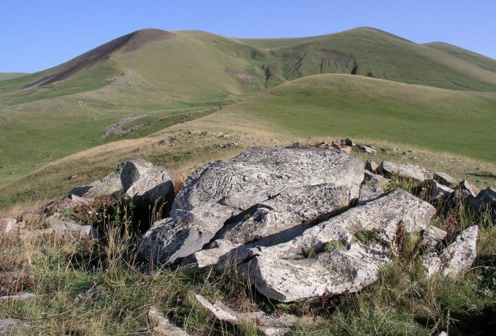
One may see an ancient observatory with a unique image of bolide carved on a huge stone block, astronomical calendars and pictograms from 3rd - 1st Millennia BC.
There are 15 pictured rock-pieces within an area of 50 by 20 m. Observations allow us to conclude that the big round image represents a bolide, and the adjoining pictures are constellations. Thus, we may assume that this is a stellar map, which shows a sector of the sky from which the bolide descended. Supposing that the three lines on the right point in the direction of the bolide's flight, we shall see Azhdahak Mountain standing there, with a little (28 by 36 m and 4 m deep) crater behind.


