Ararat Region
Area - 1995 km 2
Population - 311400
Administrative Center - Artashat City
Distance from Yerevan to Artashat - 29 km
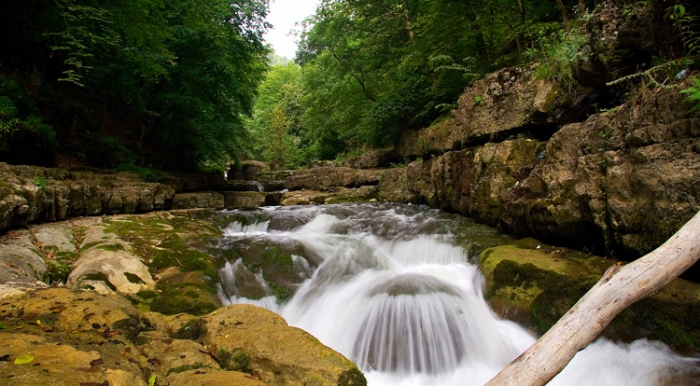
Lakes - Sev Lich, Azat water reserv., Armush, Vanki Lich, Karalich
Rivers - Araks (Arax), Azat, Hrazdan, Yotnakunk
Highest Mountains - Yeranos, Kotuts, Vishapasar
Big Cities - Artsahsat (adm. center), Ararat town, Vedi, Masis
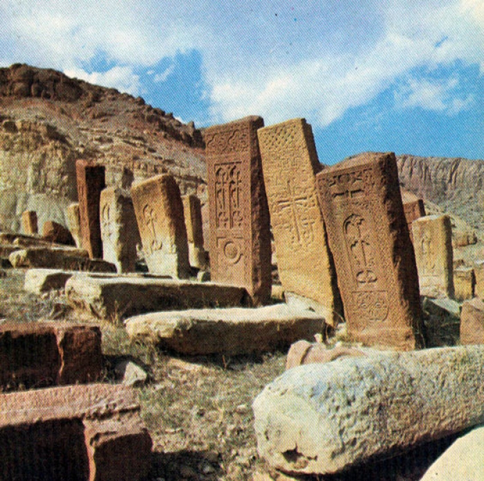
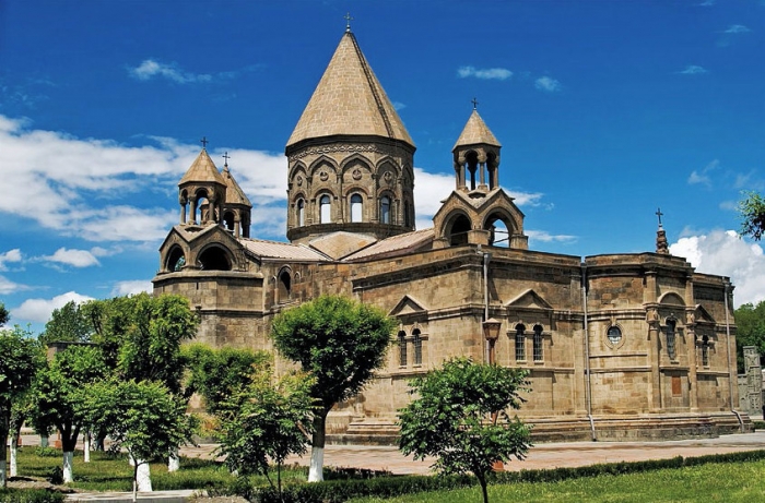
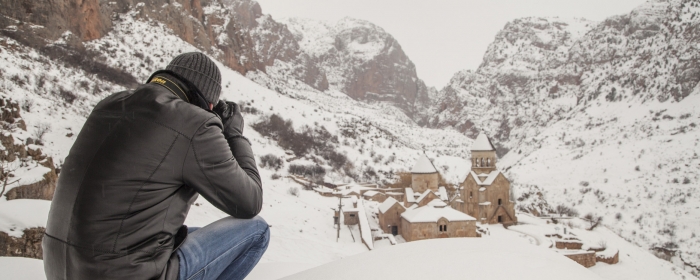
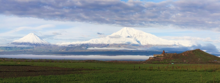
Popular and interesting sights - archaeological sites of ancient Dvin, Artashat and Kakavaberd fortress, Khosrov national park (Khosrov forest), KhorVirap Monastery.
The history of today’s Artashat city goes back as early as the 176 BC, when the Armenian King ArtashesI founded the city in the Vostan Hayots canton. According to the the century Armenian History Movses Khorenatsi, Artashes liked the position of the hills which was the location of the confluence of the Yeraskh and Metsamor rivers. The Greek historians Plutarch and Strabo give in their accounts the version that the city Artashat was built and developed on the advice of the Carthaginian general Hannibal.


